 |
| Part way along the Forgotten Highway |
It took 3 hours to arrive and when we dit it was to discover that Stratford was an odd sort of town...but provided good coffee (and cake) and a place to grocery shop before we carried on to our first campsite in the area, just outside New Plymouth. It was at a place called Onaero Bay. This was a delightful spot; very green, peaceful and with a river running into a small bay with black sand that had tremendous driftwood. It made for some great photography opportunities. I chatted to a fellow camper who remembered coming to Onaero Bay as a young boy...more than 50 years ago. He and his friends were left there for the summer holidays and it sounded as though the place had hardly changed...although I suspect the showers had been upgraded!
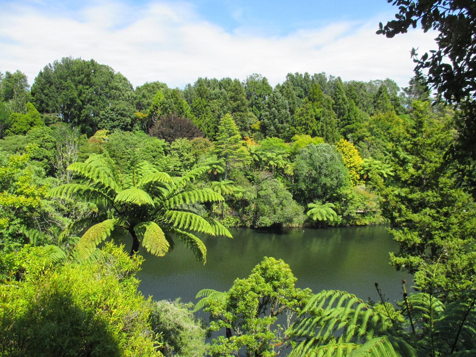
The next day was Waitangi Day. Its a public holiday in New Zealand to commemorate the signing of the Waitangi Treaty between the British and Maori chiefs in 1846. Arriving in the small seaside city of New Plymouth we found a free festival was getting underway. Spending an hour or so in Puke Akiri (a really interesting free museum) gave an insight into Maori culture and a walk to a very picturesque park provided a contrast. It had a fernery and hothouse and was the very essence of a Victorian town park.
 |
| Pukekura Park in New Plymouth |
We drove to Dawsons Falls road end about 1000 metres above sea leve, high on the side of the mountain where a Department of Conservation car park provided a free spot to stay as well as superb and ever changing views of the summit of Mount Taranaki. We had time to squeeze in a walk along a loop track to see Dawson Falls and quite a lot of the surrounding forest with trees draped in mosses creating an almost fairy tale atmosphere.
 |
| Dawsons Falls |
 |
| Sunset - Mount Taranaki |
As night fell we started to see the stars and the absence of lights from other people, houses or buildings meant the night sky was truly ablaze with star light when it became properly dark.
The next morning we set off heading south down the Surf Coast highway. This part of New Zealand is known for its surfing beaches and big waves. We eventually left the region amused by the signs at the side of the road. The first said "you are now leaving Taranaki", 250 meters later another sign said "why?" Stopping briefly in Whanganui where we saw a steam riverboat setting off and some more attractive art deco era buildings we maintained a steady southerly direction.

 |
| Scenes of Whanganui |
A little exploration revealed we were close to another river that opened out onto a long beach but reached by walking through extensive sand dunes. Our decision to take a late afternoon stroll to the beach led to a longer walk as we plotted a way through the dunes. Mrs B. was convinced we'd get lost and never be seen again!
We were now close to Wellington but had time to squeeze a couple more days and see somewhere new before we visted the capital city and said goodbye to the North Island. I'd read the small village of Martinborough was a good place to visit being both a pretty colonial village and the epicentre of another small wine region famed for producing some of the best pinot noir in New Zealand. There were supposed to be 20 wineries within 2 miles of the village centre. Sat nav was set to take us there and off we went....


No comments:
Post a Comment